-
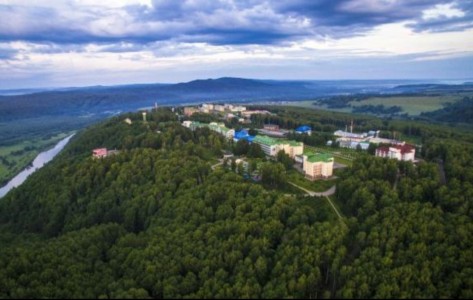
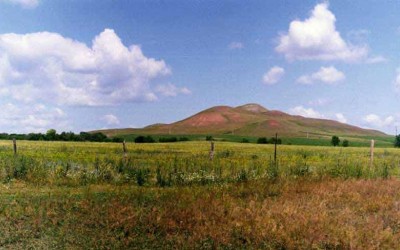
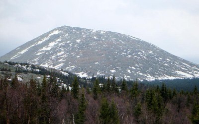
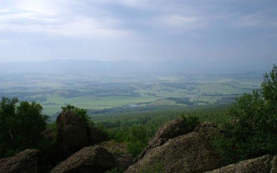
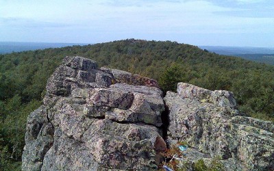
Translated from Bashkir as Yangan-Tau it means Gorelaya (Burned) mountain. It is a land of steep river valley high side. Yuryuzan towering above the river at 160 m. Composed of rocks and Sakmarian artinskian lower division of the Permian system in the crumpled folds. Structurally, the GLP territory located on the southern edge of the Bashkir arch bounded by deep fault along which a paved river valley Yuryuzan. Rocks along the fault displacement amplitude up to several kilometers.
Mountain Yangan-Tau is known for its extraordinary thermal phenomenon: from its bowels continually stand hot steam and gases, although this area is at a great distance from the areas of contemporary and relatively recent volcanic activity. The first scientific description of this phenomenon was made by Academician P.S. Pallas in the summer of 1770. As a result of numerous subsequent studies, subsoil mountains warmed by more than 300 degrees and heat reserves are significant. According to one hypothesis (G.V. Vakhrushev) heat is produced by the oxidation of bitumen contained in marl artinskian floor. This reaction is maintained inorganic catalysts contained in the same strata. The heating zone is located mainly on a depth of 60-80 m from the surface. At the foot of Yangan-Tau come to the surface fresh and brackish springs of bicarbonate-calcium sulfate and calcium-sodium, sulfur has a number of sources.
News section
Friday, 18 November 2022
Tuesday, 15 November 2022
Monday, 29 August 2022
Friday, 19 August 2022
Monday, 06 June 2022


